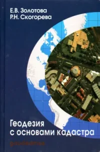
The textbook sets out general issues of geodesy and photogrammetry with elements of error theory. Progressive technologies for filming the terrain and real estate are described using laser scanning, electronic tacheometry, and GLONASS/GPS satellite systems for positioning systems. Methods of architectural measurements are set out depending on the goals and the necessary accuracy of solving architectural problems.
A detailed description of the types of cadasters, methods of compiling cadastral and targeted documentation, as well as economic valuation of land in urban planning.
The textbook is intended for university students of architectural and construction specialties and can be used by specialists in the field of restoration and cadastre.
3rd edition, corrected.
Author
Zolotova Elena Vladimirovna, Skogoreva Raisa Nikolaevna
Publisher
Academic Project, 2015
Series
Gaudeamus


Reviews
There are no reviews yet.